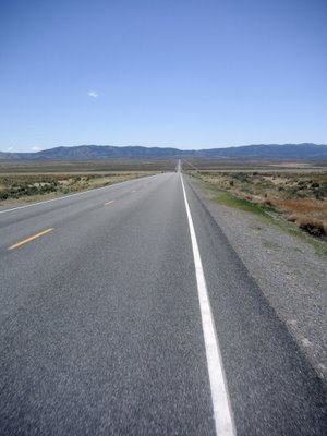
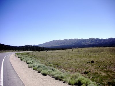
This desert is not flat.
Today, 79 miles in 5 hours 13 minutes. Boo joined Abby and I for the first half of the ride today. She climbed 2 big hills and rode farther than she ever has before. We climbed 4 summits today, amounting to 3700 feet of elevation gain altogether. I continue to be surprised at how mountainous central Nevada is. While today was the first day of our trip through the desert without any clouds to speak of, the temperatures were still mild, and breezes kept us cool. Wind today was out of the north, and at times quite strong. I recall at one point riding with the wind going 29 mph and I couldn't feel any air movement.
EDIT: Here's a summary of today's ride from Bikethewest.com
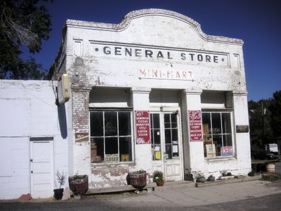
An old general store at the end of town leaving Eureka.

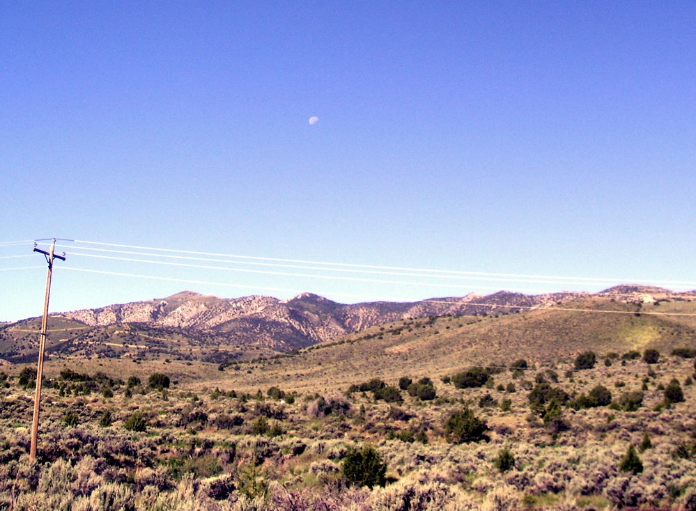
 Some neat old shacks in the morning sun and the moon high over the hills to the south.
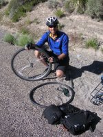
 Guess who..! Ryan and Oscar once again. Ryan was replacing a tube. The valve screw snapped off as he was pumping air into the tire. Oscar told me and Abby about crashing his bike while swerving to avoid a wild turkey that charged him outside of Davis. As the story goes, after he fell down, the turkey ran circles around him.

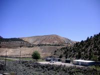
Next came one of the most enjoyable cruises downhill for approximately 7 miles. This mountain range was so beautiful. scrubby pine trees and rock layers peeking through everywhere. It felt almost alpine. As I was rolling through this area I was thinking that I would enjoy backpacking in these hills. I reached 43 mph again on this descent. Abby hit 40 mph, and Boo 32. After reaching the floor of the plain below, we stopped to wait for Boo to catch up next to some giant dirt piles and a paved clearing. It looks as though a highway line painting crew was practicing here.
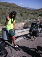
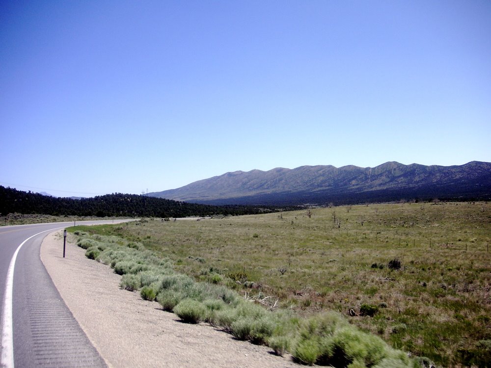
We climbed our second summit (called Pancake Summit) by around 9:30, and then crossed this big valley. Our road veered slightly to the north, and wind was now a bit of an issue. The third climb was a steep one with a bunch of false endings (you think you're at the top, then you round a corner to find the hill continues). Boo got stalled on this one when it turned steep, but was rescued by the Eurovan, which happened by at just the right moment.

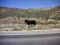
Rolling down the back of this range, I caught sight of an crumbling stone house, and this bull, who had traffic stopped as he crossed the road.
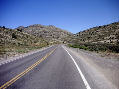
Heading into the mouth of the final climb. This hill turned out to be 10 miles long, according to Abby's odometer. The grade was consistent, and not too severe, but it just went on forever. This was one of the more grueling hills I've climbed as there wasn't a real breather at any point on the way up.
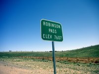
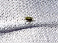
I reached the top of Robinson Pass at 1:00 (this desert pass is almost 1000 feet higher than the one we crossed to get over the sierras) and found this bug hanging out on my shirt. I notice this a lot, after riding for a few hours, I'll pause to find I'm covered in little insects, usually they're not squashed. I don't move as fast as the front grill of a car.
Beginning the final downhill stretch towards Ely, our destination. At this point, the 50 turns back in a southerly direction again, so we have the wind pushing us along.
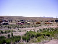
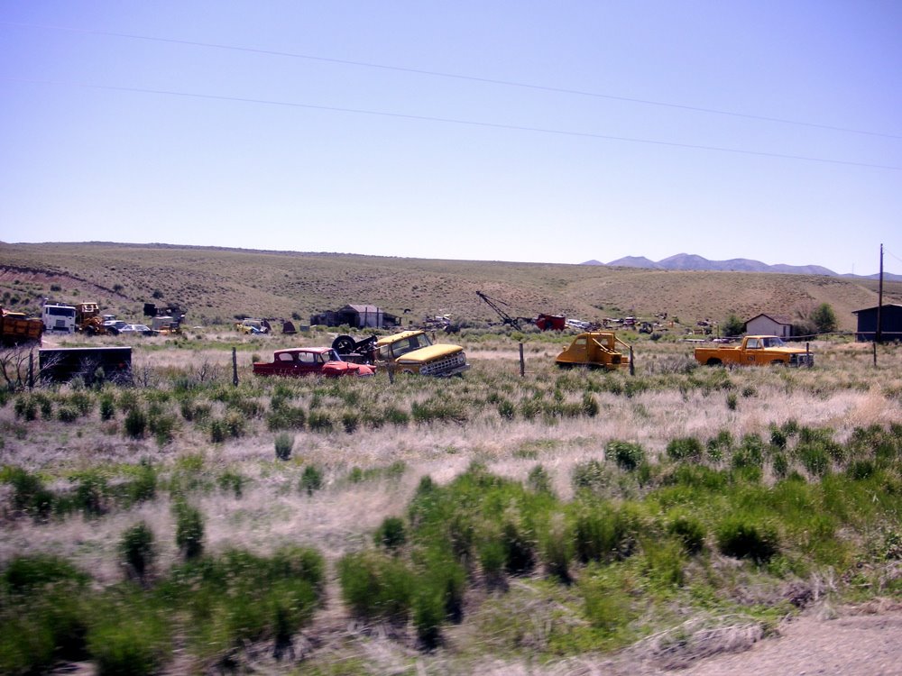
 Lots of busted autos and broken machinery scattered around. And some pretty big looking mining operations. Most of the towns we've been passing through this week were established around mining interests in the late 1800's.
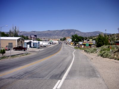
Entering the teeming metropolis of Ely, NV.
EDIT: Here's a summary of today's ride from Bikethewest.com
"Eureka to Ely - 79 miles - 3,900' climbing
America's Loneliest Bike Tour continues with another challenging day with four summits to cross. The first climb is up Pinto Summit at 7376'; the second is up Pancake Summit at 6,517'; then Little Antelope Summit at 7433' before lunch. We'll finish the day by climbing and descending the 7588' Robinson Summit into Ely."

An old general store at the end of town leaving Eureka.

 Some neat old shacks in the morning sun and the moon high over the hills to the south.
 Guess who..! Ryan and Oscar once again. Ryan was replacing a tube. The valve screw snapped off as he was pumping air into the tire. Oscar told me and Abby about crashing his bike while swerving to avoid a wild turkey that charged him outside of Davis. As the story goes, after he fell down, the turkey ran circles around him.
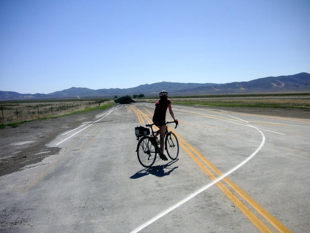
Next came one of the most enjoyable cruises downhill for approximately 7 miles. This mountain range was so beautiful. scrubby pine trees and rock layers peeking through everywhere. It felt almost alpine. As I was rolling through this area I was thinking that I would enjoy backpacking in these hills. I reached 43 mph again on this descent. Abby hit 40 mph, and Boo 32. After reaching the floor of the plain below, we stopped to wait for Boo to catch up next to some giant dirt piles and a paved clearing. It looks as though a highway line painting crew was practicing here.

We climbed our second summit (called Pancake Summit) by around 9:30, and then crossed this big valley. Our road veered slightly to the north, and wind was now a bit of an issue. The third climb was a steep one with a bunch of false endings (you think you're at the top, then you round a corner to find the hill continues). Boo got stalled on this one when it turned steep, but was rescued by the Eurovan, which happened by at just the right moment.
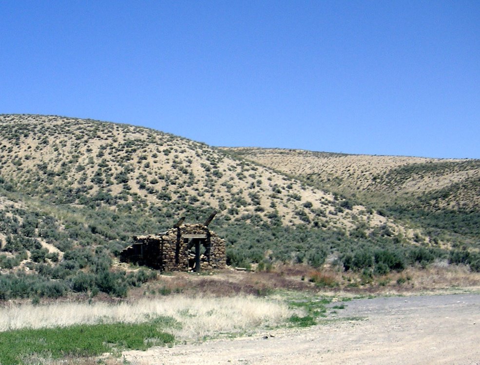

Rolling down the back of this range, I caught sight of an crumbling stone house, and this bull, who had traffic stopped as he crossed the road.

Heading into the mouth of the final climb. This hill turned out to be 10 miles long, according to Abby's odometer. The grade was consistent, and not too severe, but it just went on forever. This was one of the more grueling hills I've climbed as there wasn't a real breather at any point on the way up.


I reached the top of Robinson Pass at 1:00 (this desert pass is almost 1000 feet higher than the one we crossed to get over the sierras) and found this bug hanging out on my shirt. I notice this a lot, after riding for a few hours, I'll pause to find I'm covered in little insects, usually they're not squashed. I don't move as fast as the front grill of a car.
Beginning the final downhill stretch towards Ely, our destination. At this point, the 50 turns back in a southerly direction again, so we have the wind pushing us along.
 Lots of busted autos and broken machinery scattered around. And some pretty big looking mining operations. Most of the towns we've been passing through this week were established around mining interests in the late 1800's.
Entering the teeming metropolis of Ely, NV.
posted by Ian at 7:56 PM
![]()


0 Comments:
Post a Comment
<< Home